SOCIAL SCIENCE

|
|
|
|
|

|
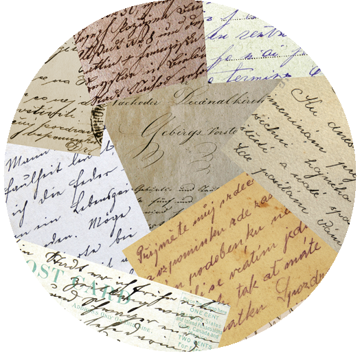
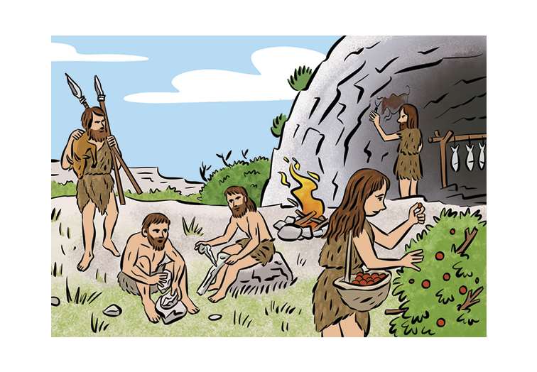
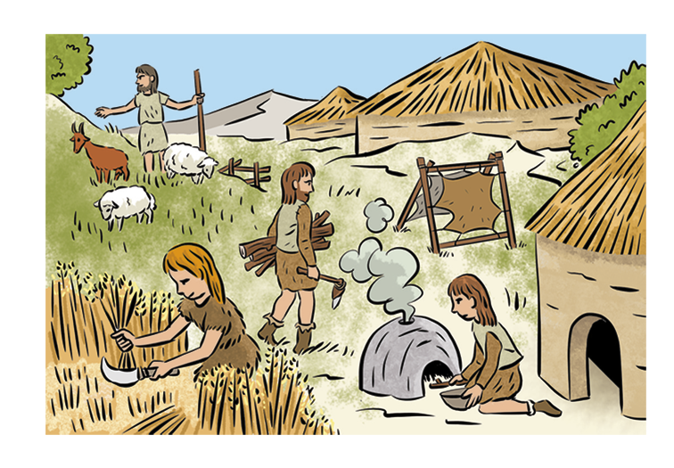
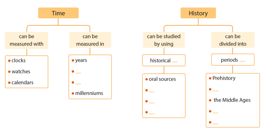
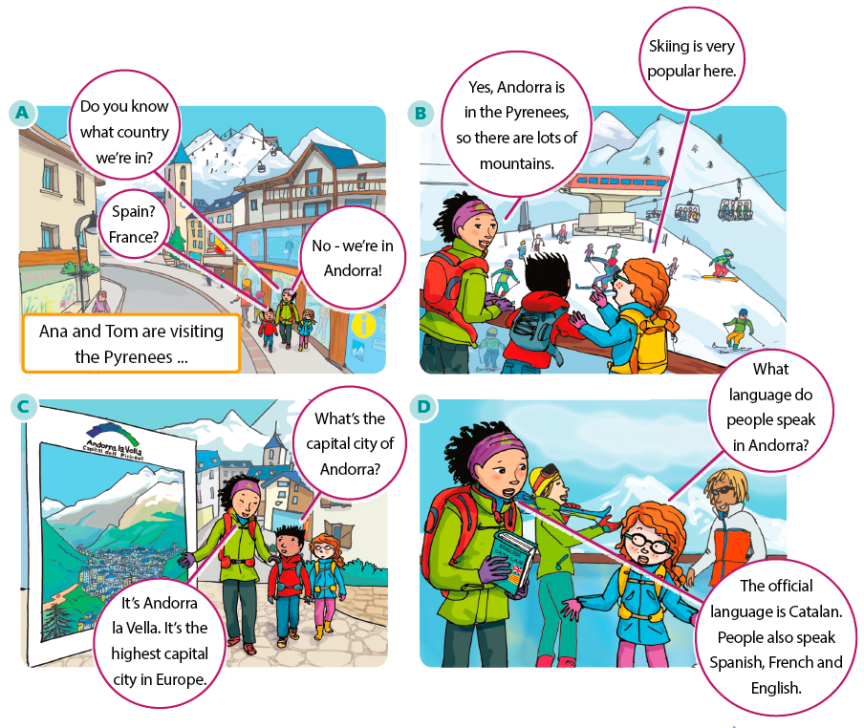
Oral sources are things from the past that are told from person to person.
|
|

|
|

|
|
|
|
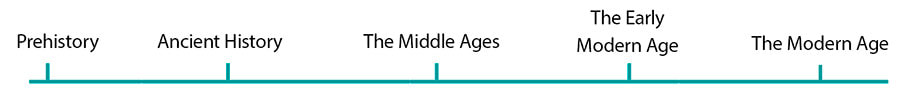
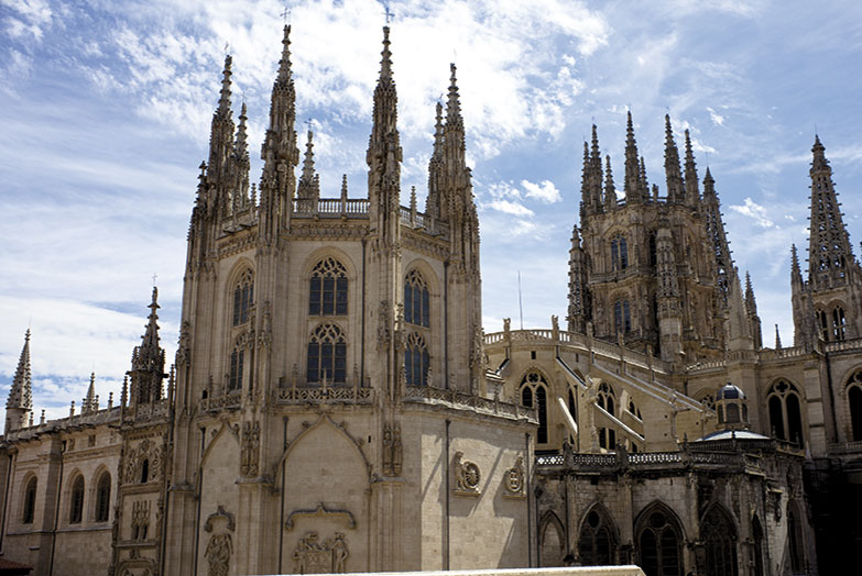
The Early Modern Age began about five hundred years ago. Small kingdoms came together to form big countries with one king.
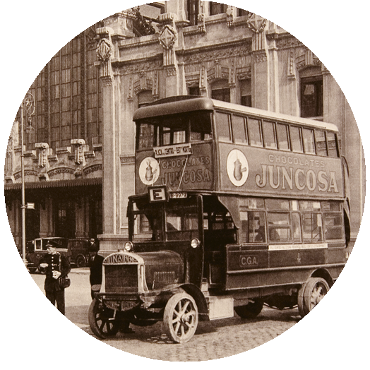
The Modern Age began about 200 years ago. It was a time of industry and changes in society. New inventions, such as the steam engine, changed the way people lived and worked. Cities grew and changed, with new streets and buildings. Public services, such as schools, hospitals and transport, became common. With the invention of the telephone, radio and television, communicationbecame easier. |
|


|
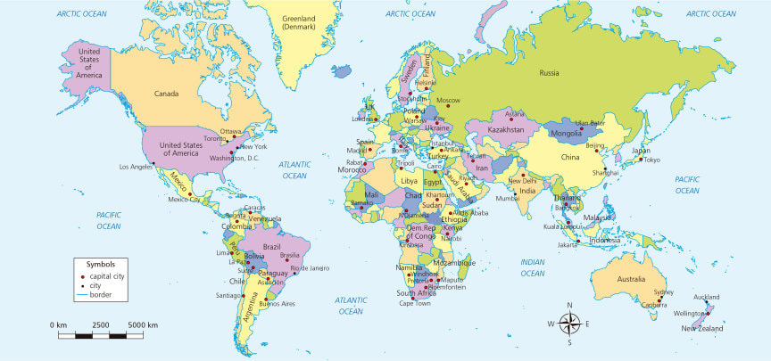
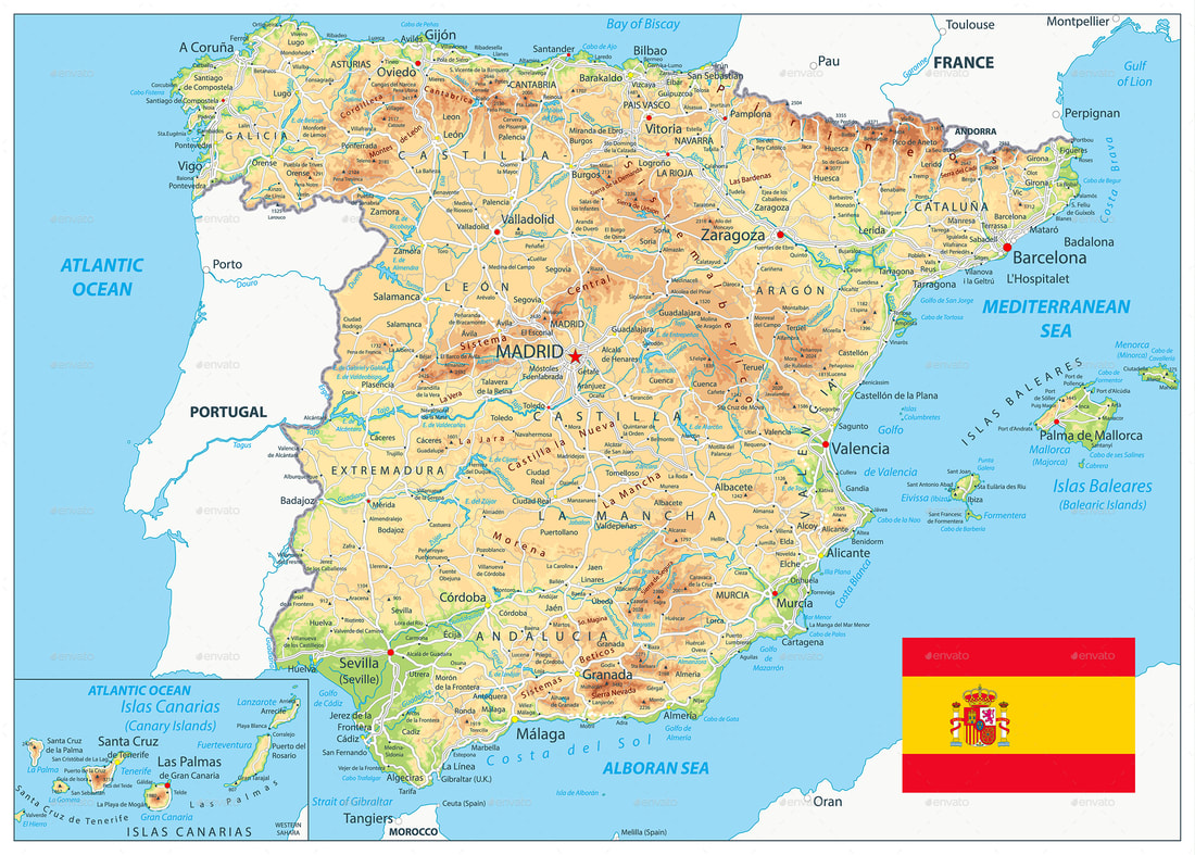
Plans represent a place. They show the view from above called an aerial view .
Plans are much smaller than the real place. Plans help us find buildings or streets. We can measure distance and size with a plan |
|

|
|
|
|
|
|
|
|
|
|
|
|
|
